
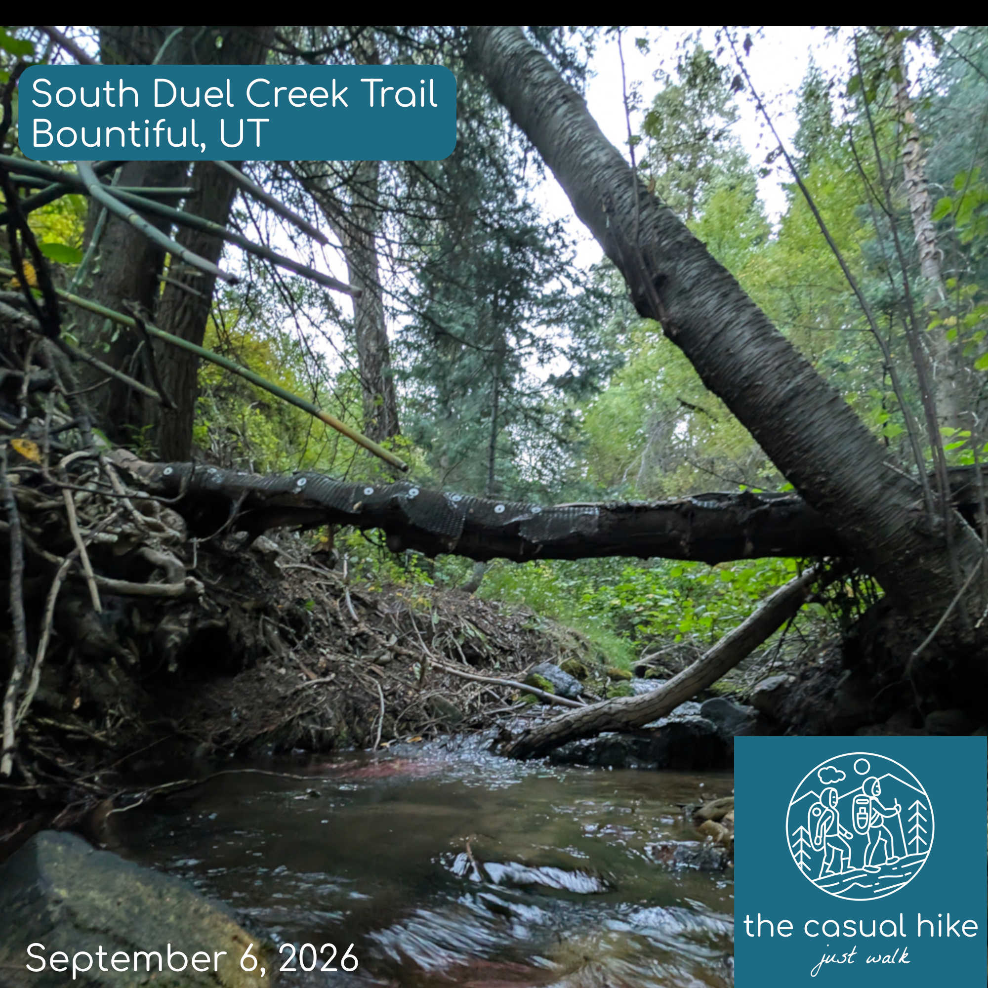
A little after six in the morning, I arrived at the trailhead for a hike just north of Salt Lake City near Bountiful. The route runs about four miles round trip and ends at a waterfall. The sun had not come up yet, and the mountain to the east blocked nearly all the early light. Dense trees and brush cover most of the trail, which is narrow and runs along a steep drop into a ravine, with washed-out sections of loose dirt and gravel near the edge. I lost the trail once in the first few minutes and used my phone’s flashlight for most of the early climb. If you start this hike before sunrise, bring a headlamp or flashlight.
The trail follows the creek and crosses it on small footbridges. I counted thirteen bridges along the route and crossed eleven of them. Thick brush hangs over the path, and stalks that look like bamboo grow along the banks. I also passed a rope swing tied to a tree and a fire ring built from logs wired together.
Listen to this episode here
It was 73 degrees in the parking lot, the warmest start of any mountain hike on this trip. The temperature dropped into the mid-60s as I climbed. Several steep stretches have loose gravel, and some require light scrambling, which means picking your way over uneven rock with your hands and feet without doing any true climbing.
After about an hour, I estimated I had covered nearly two miles, which should have put me near the halfway point. AllTrails said I had 1.2 miles to go before the turnaround. On every hike this trip, the app recorded almost a mile more than the advertised distance, even though I stayed on the route, and my new fitness tracker showed similar numbers. I have no explanation for the extra distance.
I spotted the falls through the trees and soon reached the top, where the creek drops into steep, overgrown terrain. A short side trail led down toward the base, and I worked my way across the rocks to a spot with a full view of the water. Most of the hike stays inside the trees beside the creek with few views of the valley, and the waterfall serves as a great payoff.
The descent took as much concentration as the climb, since loose gravel, roots, and rock make the steep sections harder going down. Spots that looked intimidating in the dark turned out to be manageable in daylight, and I found several small cascades I missed on the way up, including one that spilled through cracks in the rock into the ravine. In a few narrow places, boards and rebar hold the trail in place above the drop, and a misstep there could leave you hurt a long way from your car. That wrapped up my last Salt Lake City hike for a while.


stats
Length: 4.17
Avg. Pace: 1.9 mph
Elev. Gain: 1,234
Calories: 1,084
Moving Time: 2h 14m
Total Time: 2h 24m
Podcasting 2.0 & Value4Value
This is a Podcasting 2.0 compatible podcast. This means if you’re listening to this podcast on a Podcasting 2.0 compatible app you’ll have access to transcripts, chapters, and chapter images that accompany each episode.
Try the Hapa Media Podcast Player
This podcast player is a Progressive Web App (PWA). You can install it on your desktop, tablet, or phone. There are zero ads and no sign up. Just get the app and start listening to your favorite podcasts today!

Leave a Reply